
Impact: Rounds of scattered showers, downpours, storms for Thursday in south central Pennsylvania
There is a low chance of localized heavy rain that could lead to flash flooding and isolated severe storms Thursday afternoon and evening.

Good morning,
A few showers develop late in the early morning hours on Thursday and continue through the late morning hours. You’ll notice the return of the humidity and cooler temperatures in the 70s.
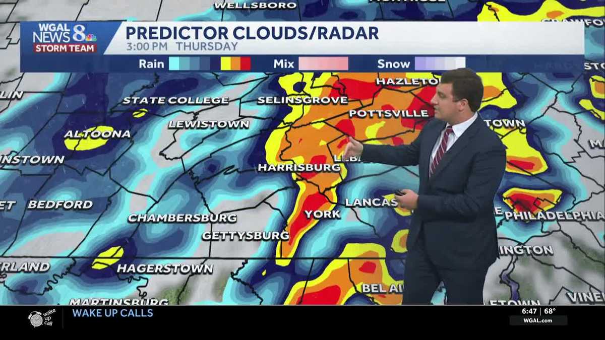
Showers and thunderstorms will continue into the afternoon as a line develops to the west and moves into the Susquehanna Valley. We are making Thursday an impact day, as isolated heavy downpours could lead to some flooding. The National Weather Service has issued a Flood Watch for Adams, Cumberland, Franklin, Juniata, Mifflin, and Perry counties until 4 p.m. Thursday.
Isolated strong and severe thunderstorms with gusty winds are possible, mainly during Thursday afternoon and early evening (12 PM – 7 PM), with the highest chance from 1 PM until 5 PM. The Storm Prediction Center has outlined areas along and east of I-81 for potential strong thunderstorms. The highest risk for severe weather is south and along Route 30 in York County and the majority of Lancaster County from Elizabethtown, Lititz, Manheim Boro., and Ephrata and areas to the south. For flash flooding, the entire Susquehanna Valley is under a marginal (level 1/4) risk for isolated flash flooding. The main concern will be in low-lying areas with poor drainage.
Dry weather and sunshine are expected Friday, with a few passing clouds. High temperatures are in the low 80s. Drier air will move in, with dew points dropping into the 50s, giving for a noticeably more refreshing feel.
The weekend looks unsettled, with a few showers and thunderstorms possible both days. Low pressure will develop over the Mid-Atlantic Saturday before moving offshore, while a cold front sweeps east Sunday. Temperatures will hover near 80 degrees.
A cooler, more comfortable stretch is ahead next week. Highs will stay in the upper 70s to near 80 degrees with comfortable humidity. That’s several degrees below the average high in the mid 80s.
Have a great day!
Source link